Everything to Know About Camino de Invierno
The Winter Way guide: quieter Ponferrada–Santiago route, stages, highlights, food, weather, and planning tips for a smooth, scenic pilgrimage.

Anja
January 22, 2026
17 min read
Quick links
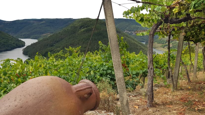
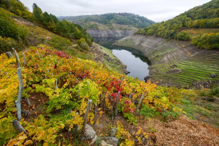
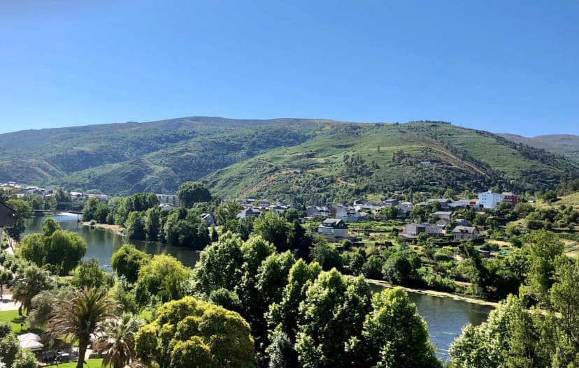
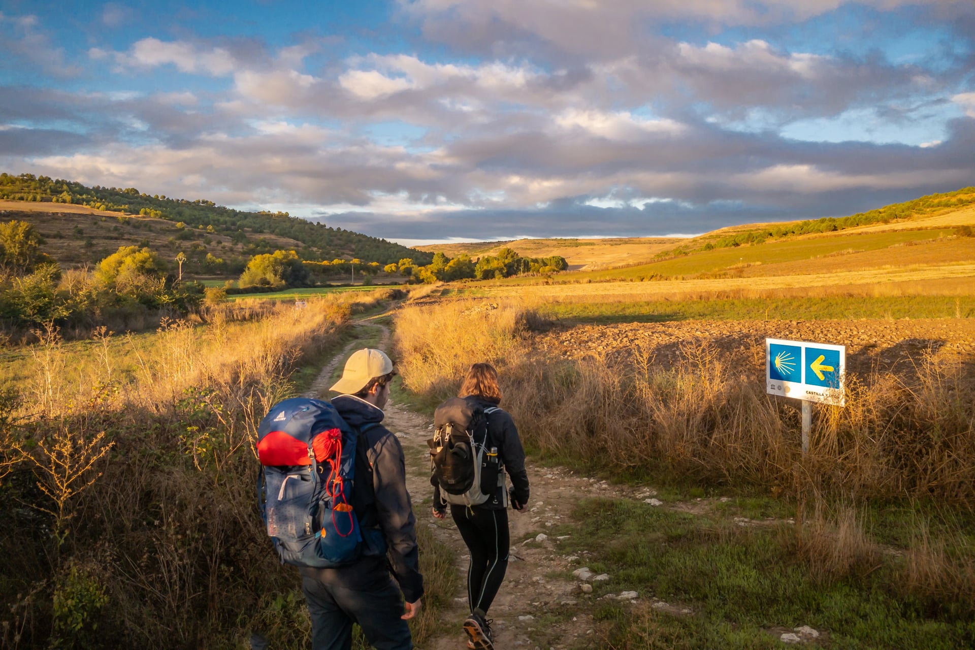
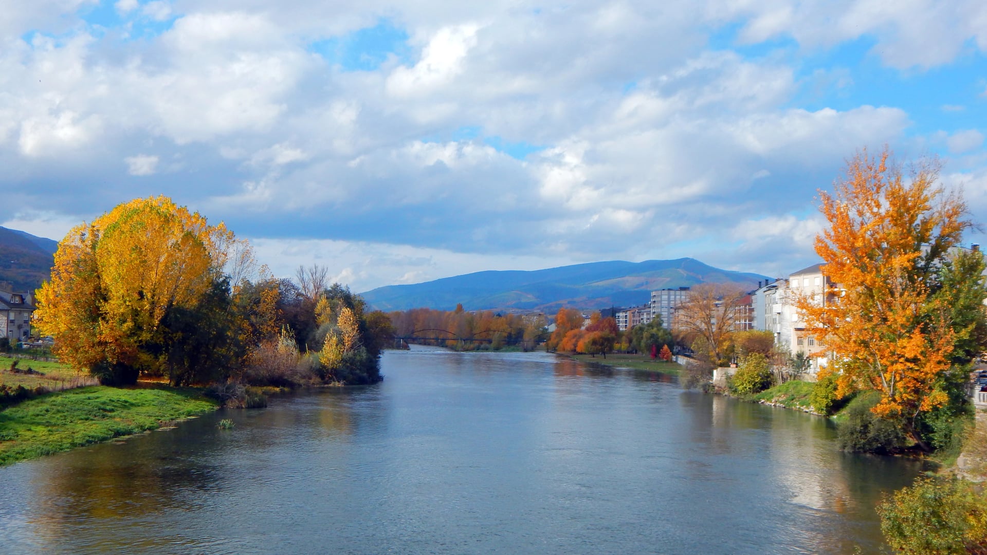
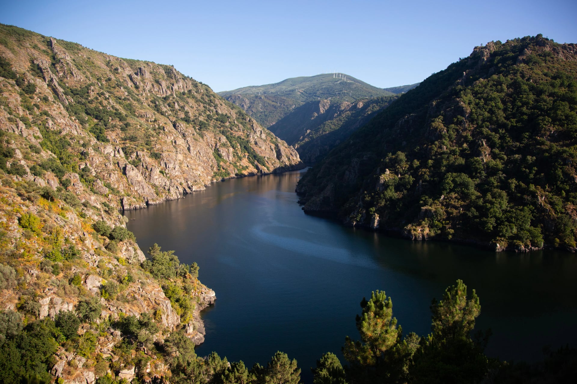
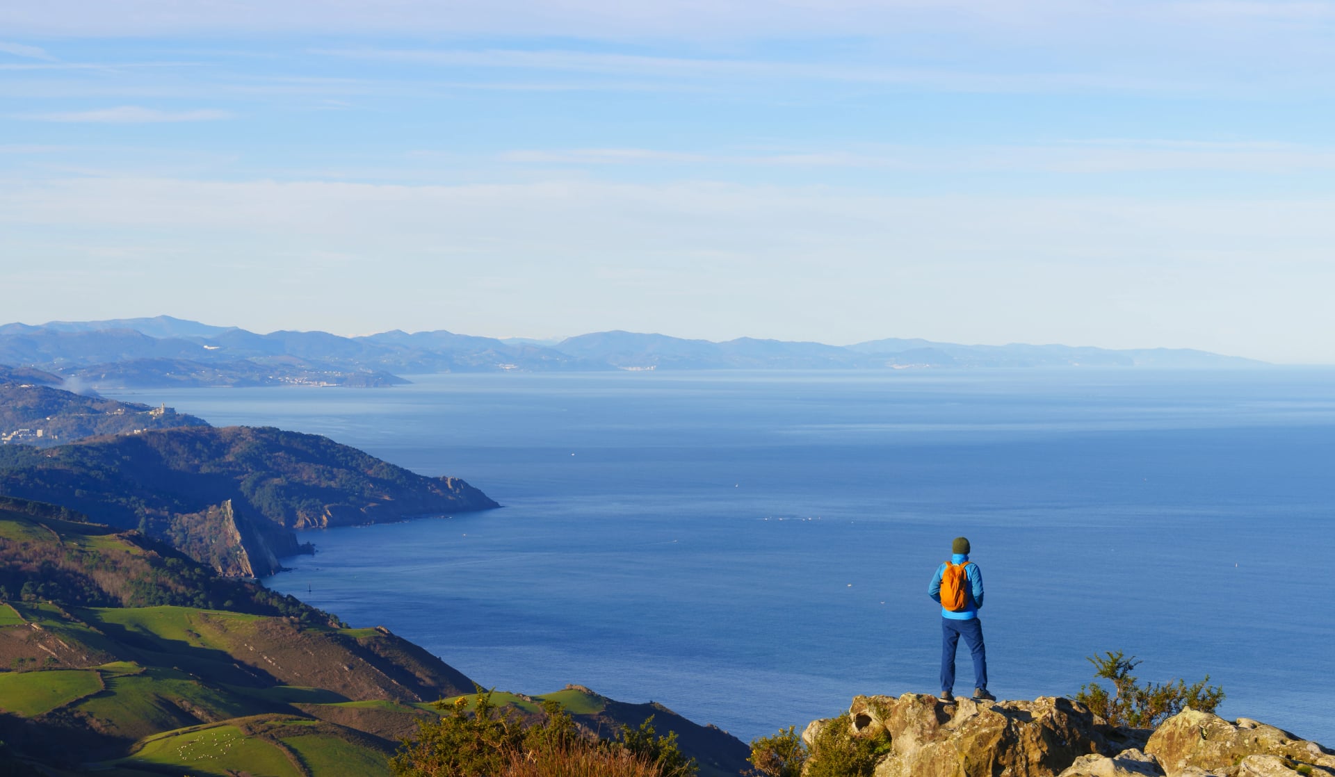
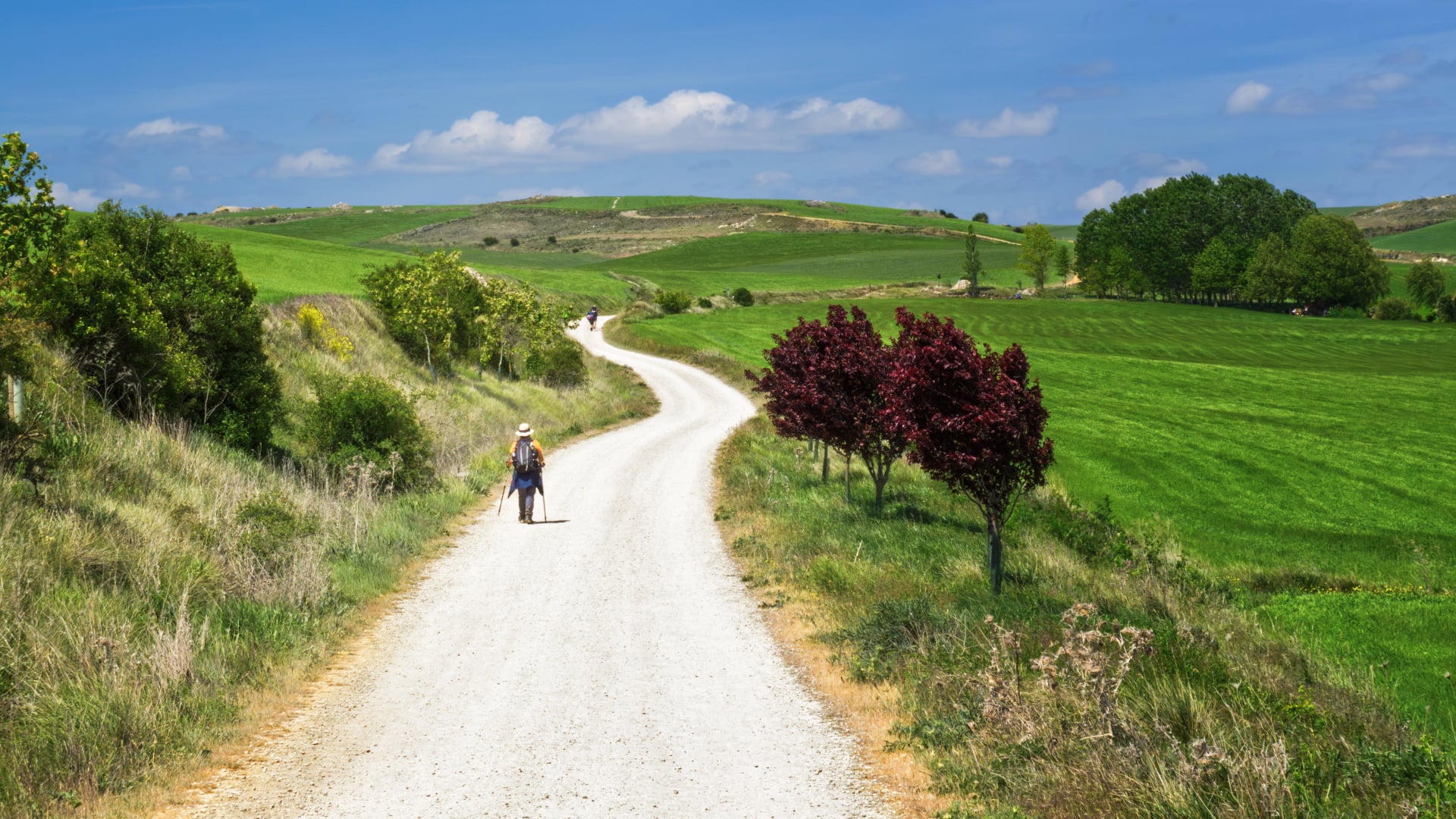
Camino de Invierno is the Camino for pilgrims who want space, scenery, and a calmer daily rhythm—without giving up the satisfaction of walking into Santiago on foot. The route starts in Ponferrada and cuts into Galicia through the Sil River valley and Ribeira Sacra, where the walking feels more “local” than “procession”: smaller towns, longer quiet stretches, and viewpoints that arrive early rather than only near the finish.
The name (“Winter Way”) comes from its practical origins as an alternative when higher, harsher crossings on other routes were less appealing. In modern planning terms, it’s a route that rewards smart staging: the walking is very doable for prepared hikers, but services can be more spaced out—so a little forethought keeps the experience smooth instead of stressful.
For universal Camino basics—credential rules, how to pace stages, what to pack, and how the “Camino system” works—the best reference is the ultimate Camino de Santiago guide.
Some Numbers
This is the fast, decision-useful picture of the route—what it demands, what it gives back, and where plans usually succeed or wobble.
Core Facts
Start: Ponferrada
Finish: Santiago de Compostela
Total distance: roughly 260–265 kilometers (small variants can nudge totals)
Typical time: 10–12 walking days, depending on stage splits and rest days
Overall feel: river valleys + vineyard slopes + wooded lanes, with a quiet, rural cadence
Effort Profile
Difficulty: moderate
The “work” is less about brutal climbs and more about rolling elevation and the occasional longer day if stages aren’t planned around accommodation anchors.
Terrain tends to mix paved rural roads and natural paths; footwear that’s comfortable for mixed surfaces matters more than chasing a “technical hiking” setup.
Planning Reality
The most common mistake is trying to force a perfect daily kilometer target. The best plans start with where beds and meals reliably exist, then shape daily distances around those points. That approach keeps afternoons relaxed and protects the overall pace.
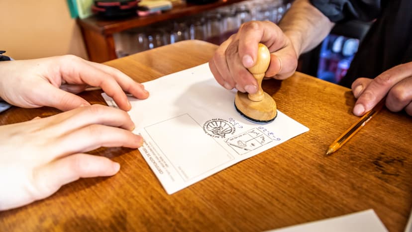
Before you set off- make sure that you have your camino passport ready or you know where to obtain one at the beginning of your route, and where to receive the certificate after the camino. We have gathered all the information in our camino passports blog.
Camino De Invierno Map
Who is it For?
Camino de Invierno tends to be a strong choice when the goal is quality of days, not just collecting kilometers. It’s especially well-matched to pilgrims who value scenery and calm, and who are happy to plan a little so the route feels effortless in practice.
Good Match if
Crowd-light walking matters more than having a café every few kilometers
The idea of Galicia’s river-and-vineyard landscapes feels like a feature, not a bonus
A “quiet evening” sounds better than a town packed with pilgrims competing for dinner tables
Planning a route with clear staging points feels fine (rather than fully spontaneous day-to-day decisions)
Less Ideal if
The trip needs ultra-flexible “walk until tired, then stop anywhere” logistics every day
A first Camino is expected to feel highly social and constantly supported (some routes simply deliver that more reliably)
Our Recommendation
For pilgrims who want a calmer Camino finish and are comfortable with light planning, Invierno is a strong strategic pick.
For travelers who want maximum infrastructure and the simplest logistics, another classic route can be the safer first step—then Invierno becomes the “second Camino” that feels refreshingly different.
Want to walk the camino in winter? That is possible, but there are some caveats, make sure to check out our winter camino guide for every advice you need to know when completing a camino route in winter.
Starting Points
Most pilgrims start the Camino de Invierno in Ponferrada and walk the full route into Santiago. That’s the cleanest way to get the “Invierno story arc”: León’s edge-of-mountains feel, then the Sil valley and Ribeira Sacra shift the scenery into something distinctly Galician.
Common Starts
Ponferrada: the classic beginning and the simplest logistics start point
Las Médulas area: a practical choice if the Roman landscape is a must-see and the first days need to be more “scenic-first”
O Barco / A Rúa (Valdeorras): a sensible option for shorter total time while keeping the Sil-valley character
Monforte de Lemos: a strong mid-route hub if the goal is a shorter walk with reliable services
Chantada: often used when the plan is to focus on the final stretch while keeping the route quieter than the busiest last 100 kilometers elsewhere
What to Expect
The biggest variable is not terrain—it’s spacing. On the Invierno, the start you choose should be based on how much flexibility you want with daily distances and how comfortable you are with planning ahead for accommodation.
Stage Planning
This route tends to work best when it’s planned like a string of good days—not like a spreadsheet that must hit the same number every night. The sweet spot for most walkers is 10–12 walking days, with a rest day added when the trip is designed for comfort over speed.
Typical Rhythm
Average day: often lands in the 20–27 kilometer range when stages are built around reliable stops
Long-day risk: shows up when accommodation options are limited in a specific corridor—so the plan should aim to avoid being forced into a single oversized stage
Best “reset” logic: placing a slower afternoon or rest day near a larger hub keeps the second half feeling easy rather than grindy
Essentials
Plan around beds first, then adjust daily distances
Carry a small “buffer” for quieter stretches: water + snacks can matter more here than on the busiest routes
Build a realistic pace from day one; a strong first day doesn’t always translate into a strong day five
Optional But Smart
A short prep block improves outcomes more than people expect—especially for feet and recovery. A lightweight plan from training for the Camino principles usually makes the biggest difference in week two, not week one.
Don’t treat footwear as an afterthought; comfort on mixed surfaces is a performance multiplier. See our camino shoe guide for more info.
Stage Breakdown (Ponferrada to Santiago)
The standard 10-12 day rhythm breaks down into logical overnight anchors that balance distance, services, and recovery. Stages can be combined or split based on fitness and accommodation availability.
Stage 1
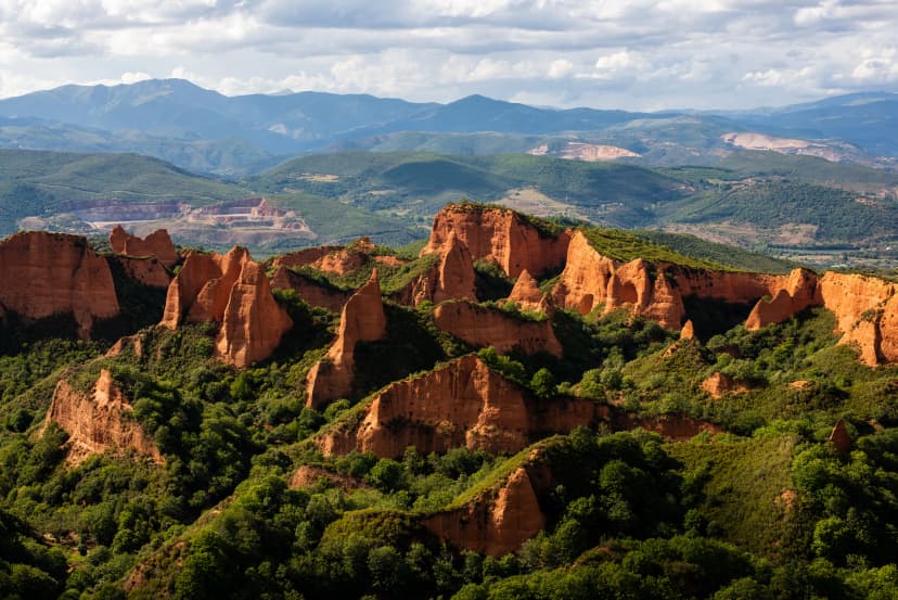
Ponferrada to Las Médulas
Distance: 20-24km (depending on route variant)
Difficulty: Easy to moderate
Elevation gain: ~400m
Terrain: Mixed paved roads and dirt paths through former mining landscapes
Services: Limited along the way; Las Médulas has basic accommodation and restaurants
Stage 2
Las Médulas to O Barco de Valdeorras
Distance: 26-30km
Difficulty: Moderate
Elevation gain: ~450m
Terrain: Rolling hills transitioning into Sil valley, mostly natural paths
Services: Good resupply and accommodation options in O Barco
Stage 3
O Barco to A Rúa de Valdeorras
Distance: 18-21km
Difficulty: Easy
Elevation gain: ~250m
Terrain: Valley floor following the Sil River, mostly gentle gradients
Services: Excellent—heart of Godello wine country with supermarkets, pharmacies, multiple accommodations
Stage 4
A Rúa to Quiroga
Distance: 24-28km
Difficulty: Moderate
Elevation gain: ~500m
Terrain: River valley paths with some rolling climbs, entering Ribeira Sacra zone
Services: Reliable accommodation; strategic position before more remote stretches
Stage 5
Quiroga to Monforte de Lemos
Distance: 23-26km
Difficulty: Moderate
Elevation gain: ~480m
Terrain: Vineyard slopes and forest tracks through Ribeira Sacra landscapes
Services: Excellent—main route hub with full services, many walkers take rest day here
Stage 6
Monforte de Lemos to Taboada (or continue to Chantada for long day)
Distance: 20km to Taboada; 35km to Chantada
Difficulty: Moderate (to Taboada); challenging (to Chantada)
Elevation gain: ~400m (to Taboada); ~650m (to Chantada)
Terrain: Rural roads and agricultural paths
Services: Limited in Taboada; better options in Chantada if pushing through
Stage 7
Taboada/Chantada to Rodeiro
Distance: 15km (from Chantada); 22-25km (from Taboada)
Difficulty: Easy to moderate
Elevation gain: ~350m
Terrain: Quiet Galician countryside, mixed surfaces
Services: Basic accommodation and services; rural character intensifies here
Stage 8
Rodeiro to Outeiro (or Silleda)
Distance: 20-27km depending on endpoint
Difficulty: Moderate
Elevation gain: ~420m
Terrain: Rolling farmland and forest paths
Services: Accommodation availability determines exact stop; Silleda offers more options
Stage 9
Outeiro/Silleda to Ponte Ulla
Distance: 18-24km
Difficulty: Easy to moderate
Elevation gain: ~300m
Terrain: Gentle gradients approaching Santiago basin
Services: Good positioning for final day; often treated as "short day" before finish
Stage 10
Ponte Ulla to Santiago de Compostela
Distance: 22km
Difficulty: Easy
Elevation gain: ~280m
Terrain: Well-marked paths, increasing foot traffic as you approach Santiago
Services: Full urban services; arrive with daylight to collect Compostela and enjoy the finish
Flexibility Notes: Stronger walkers can compress into 9 days by combining stages 6-7 or 8-9. More conservative plans stretch to 12 days by splitting the Monforte-Chantada section and adding a rest day. The key is planning around where accommodation actually exists rather than forcing ideal daily distances.
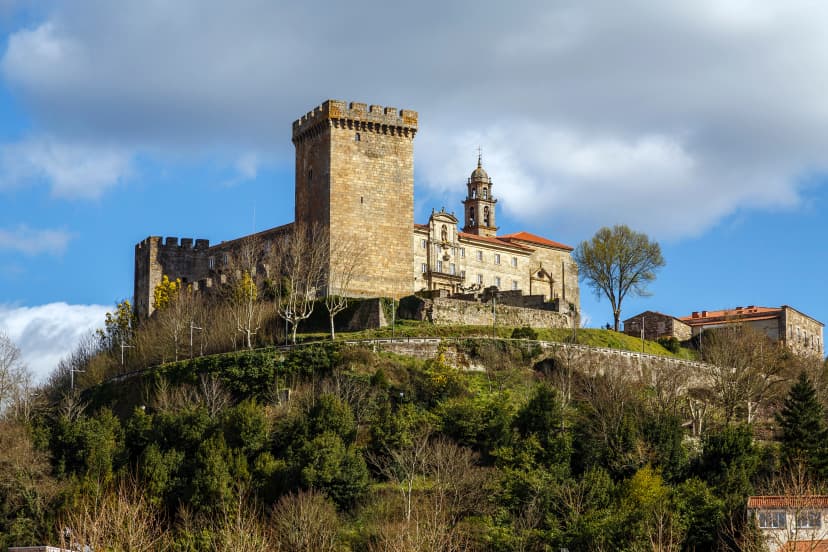
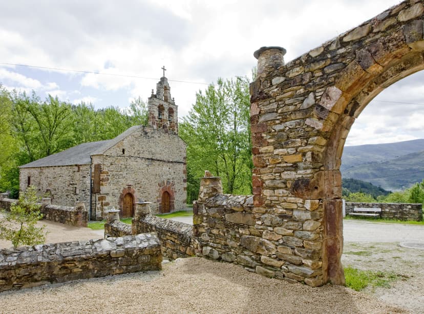
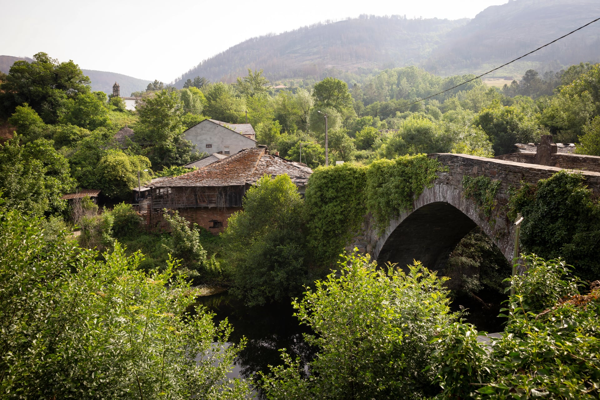
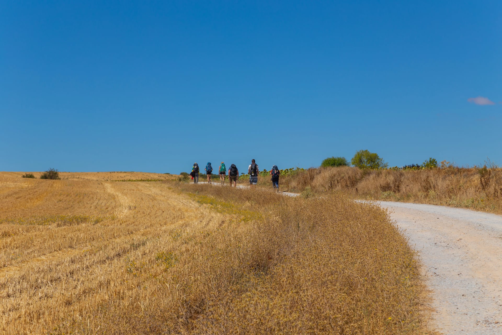
Key Highlights
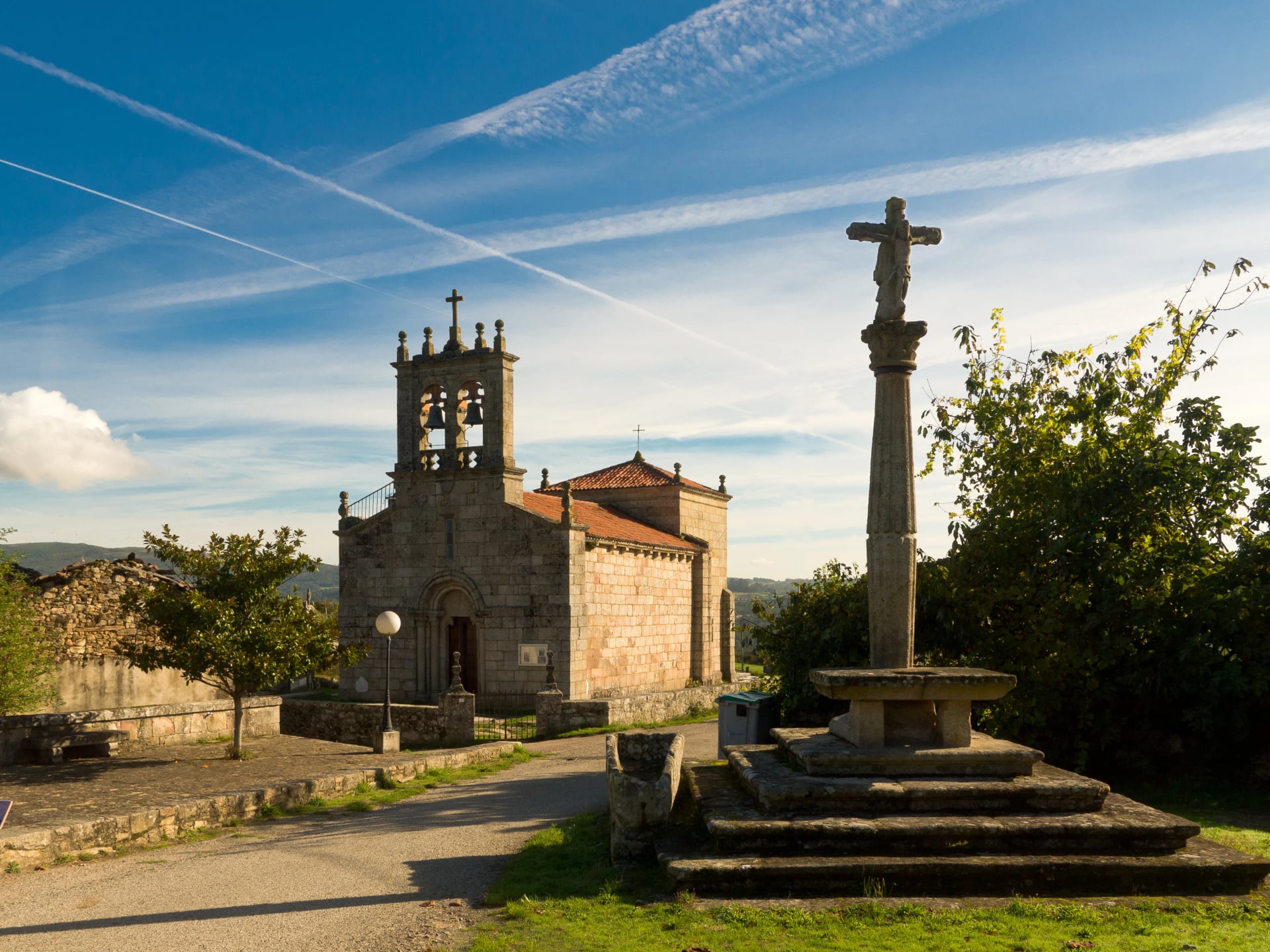
These five stops are the route’s strongest “why this Camino” moments—places that typically become the stories people tell afterwards.
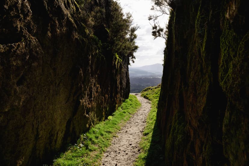
What’s the Terrain Like?
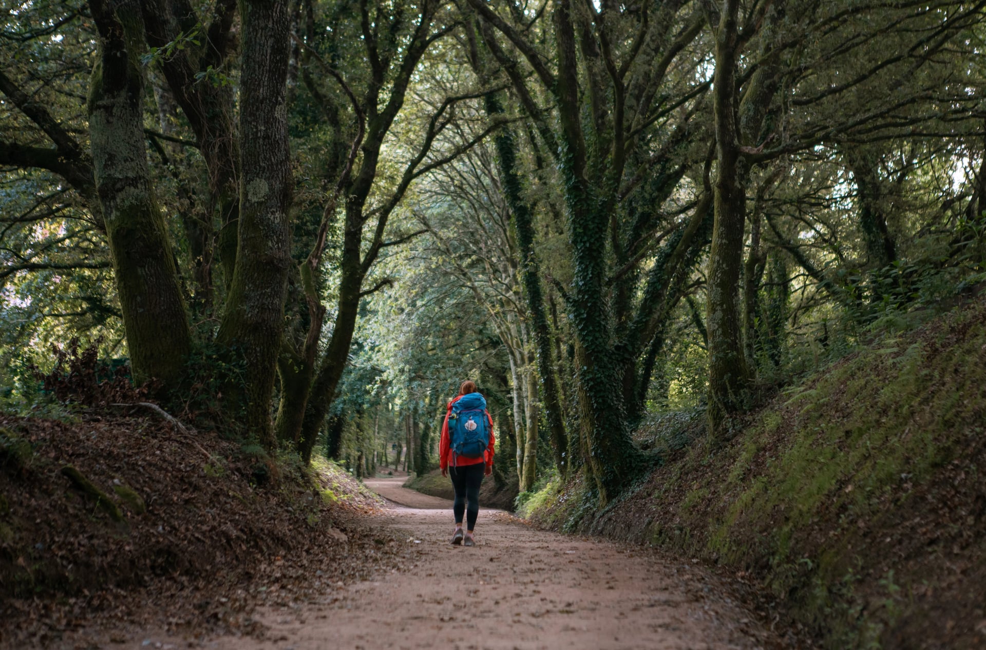
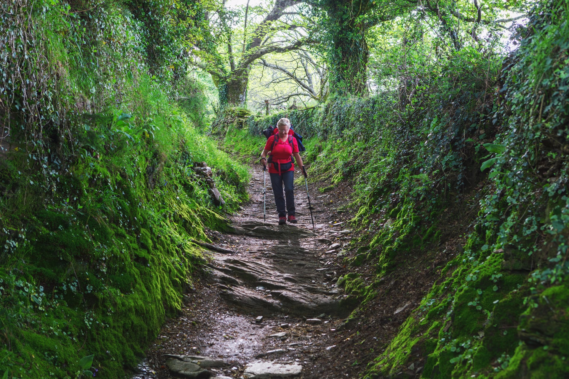
Camino de Invierno feels “moderate” in the most useful sense: it’s not a constant grind, but it also won’t be a flat cruise. The typical day is built around rolling elevation and mixed surfaces, which makes pacing and footwear choices matter more than raw fitness.
A lot of the challenge (and enjoyment) comes from how the route moves through valleys and across ridgelines. You’ll get stretches of steady, leg-friendly gradients, then short sections where the route reminds you it’s still Galicia—brief climbs that ask for patience, not heroics. When stages are planned well, the terrain reads as scenic variety rather than difficulty.
What to expect
Mixed underfoot feel: rural pavement, compact dirt, forest tracks, and occasional rougher patches
Rolling climbs: more frequent smaller ups and downs rather than one defining mountain day
Weather sensitivity: wet days can make certain sections feel slower, especially where surfaces get slick
Why this matters
On Invierno, comfort is performance. A plan that respects terrain will feel smooth and sustainable, while the same route can feel unnecessarily hard if daily distances ignore elevation and surface conditions.
Infrastructure and Services
Invierno’s defining feature is not just fewer people—it’s also more spacing between services. That doesn’t mean the route is unsupported; it means the “always-on infrastructure” of the busiest Caminos is replaced by a more rural cadence where planning removes friction.
The practical rule: assume there will be days where the next café is not around the corner. This is the route where carrying a small buffer—water, a snack, and a bit of timing discipline—pays back immediately. When that buffer exists, the quiet feels like a luxury instead of a risk.
Essentials
Accommodation anchors: identify where beds exist first, then build stage length around them
Resupply rhythm: larger towns are reliable; smaller villages can be limited outside peak periods
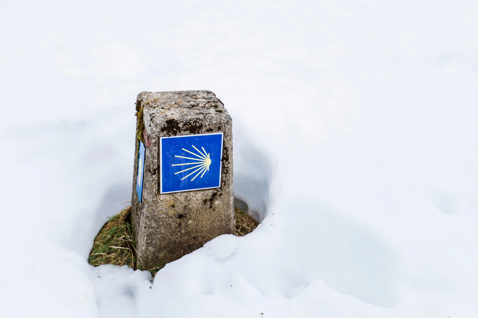
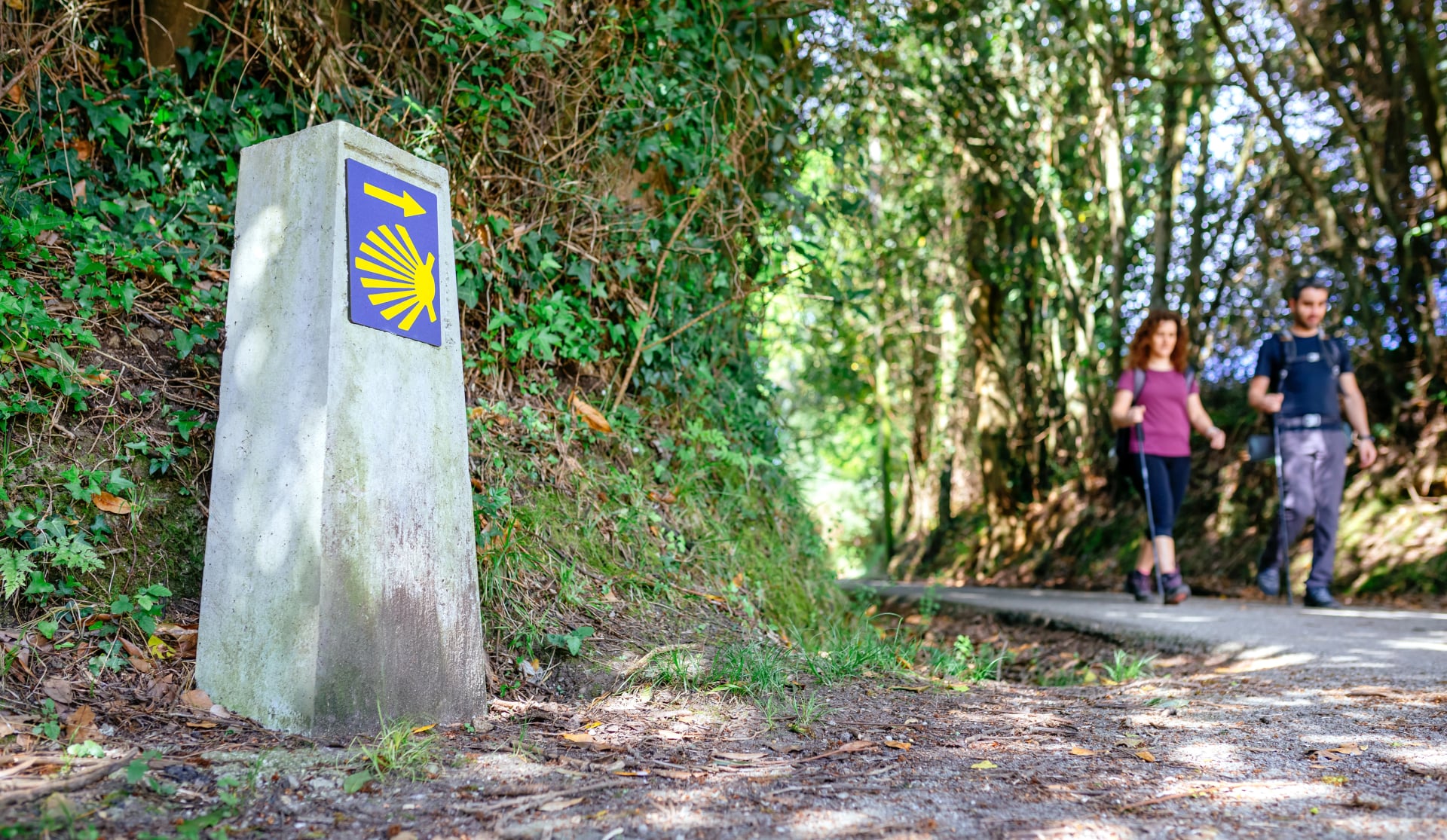
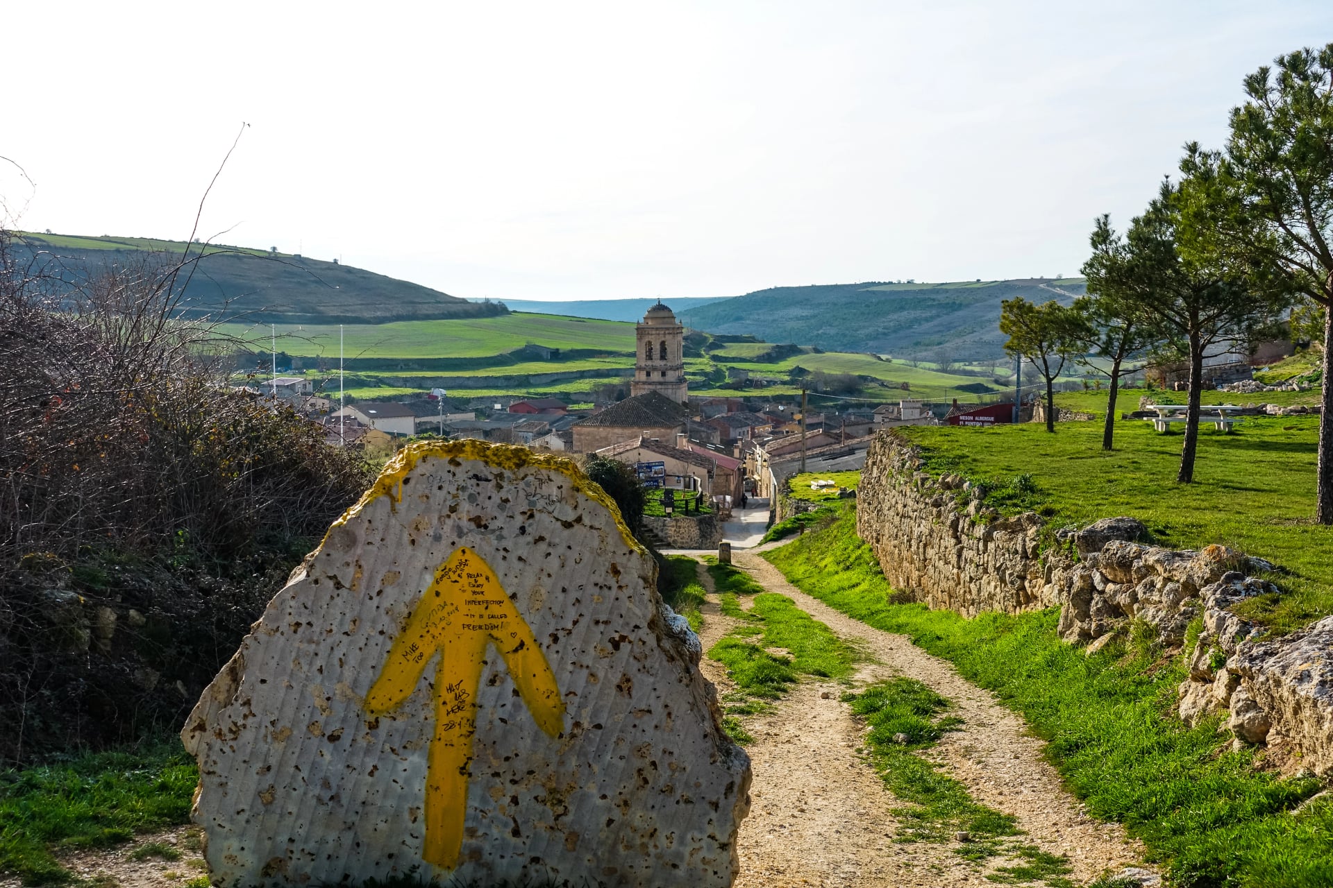
Navigation: waymarking is generally good, but offline maps are a smart backup
Optional but smart
Early starts keep the day flexible and reduce the pressure of reaching a specific village “before everything closes”
A small cash buffer helps in rural spots where cards aren’t always the default
If the trip is scheduled outside peak months, a more deliberate booking approach reduces last-minute stress
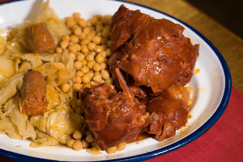
Food on The Way
Invierno is a route where food feels earned—not because it’s scarce, but because it’s regional and grounded. Meals tend to be warming, local, and straightforward, with a clear shift as you move from El Bierzo into deeper Galicia. A good plan is to treat lunch as the reliable refuel and dinner as the “reward,” especially after longer stages.
These three are the most “route-relevant” picks—things that genuinely fit the Invierno corridor rather than generic Camino suggestions.
Best Time to Go
Camino de Invierno is a shoulder-season specialist: it was historically used to avoid the snowier high passes of the traditional route, and it still shines when the main Camino is at its busiest.
Spring (March–May): In the Bierzo (Ponferrada area), typical averages move from about 4–17°C in March to 10–23°C in May—cool mornings, comfortable walking later in the day.
Summer (June–August): Expect hot inland days early on (Ponferrada averages around 27–31°C highs in June–August) while Santiago stays milder (around 23–26°C highs in summer). This split is why pacing and midday breaks matter more than bravado.
Autumn (September–October): Often the best balance: Ponferrada sits around 27°C highs in September and 21°C highs in October, while Santiago cools faster—good for longer stages without heat stress.
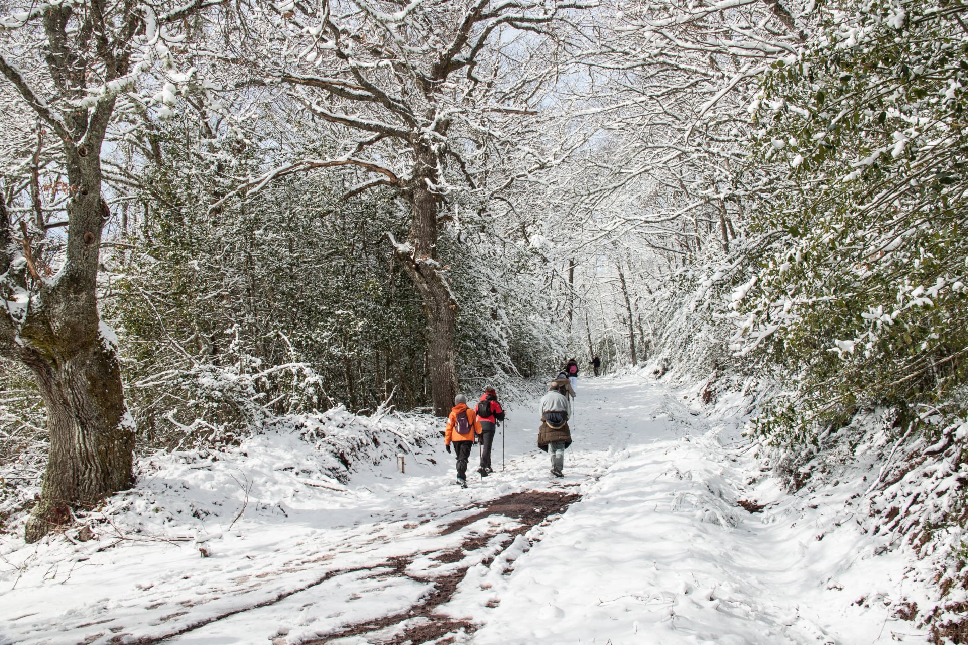
Winter (November–February): You’re signing up for short daylight + wet stretches, with inland lows near 1–2°C around Ponferrada and Santiago sitting closer to 4–6°C at night. It’s doable, but only if layers + waterproofing are non-negotiable.
Practical takeaway: the route’s “winter” branding is less about idyllic snowy postcards, and more about a lower-altitude, more weather-resilient way to reach Galicia—still, Galicia will happily rain on your parade if you let it.
Weather Resources to Use:
AEMET (Agencia Estatal de Meteorología) – Spain’s national weather service and the gold standard for inland accuracy. Best for Ponferrada, Bierzo valleys, and stage-by-stage forecasts, including heat warnings, rainfall probability, and wind. Local station data is especially useful outside major cities.
MeteoGalicia – Regional authority with superior resolution for Galicia. The most accurate source once approaching Ourense and Santiago, particularly for rain timing, Atlantic fronts, and rapid temperature drops common in Galicia.
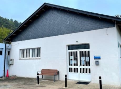
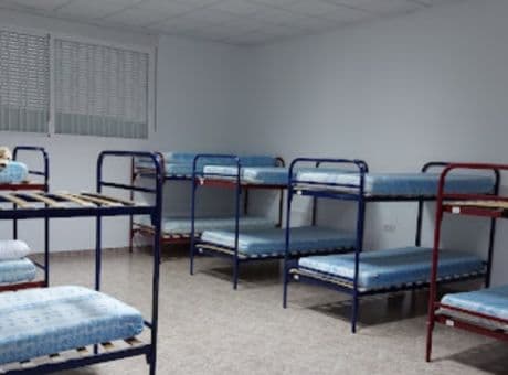
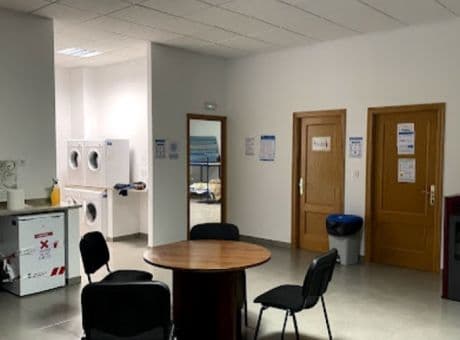
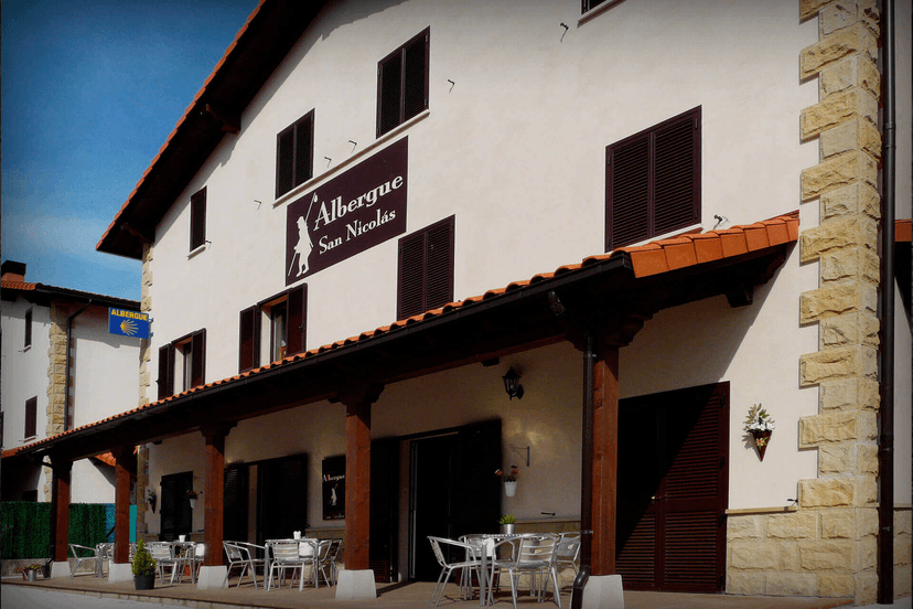
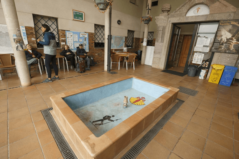
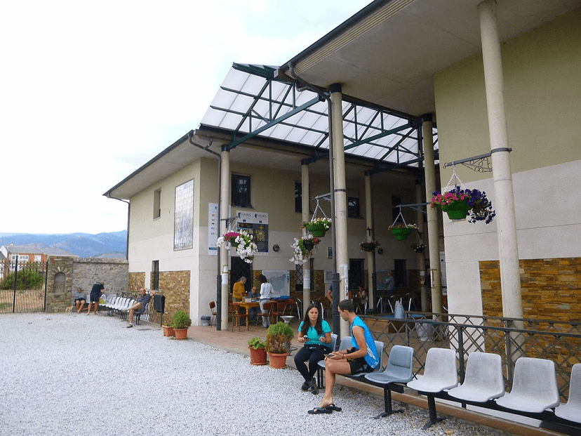
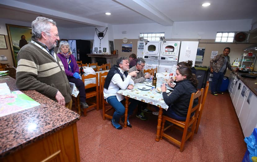
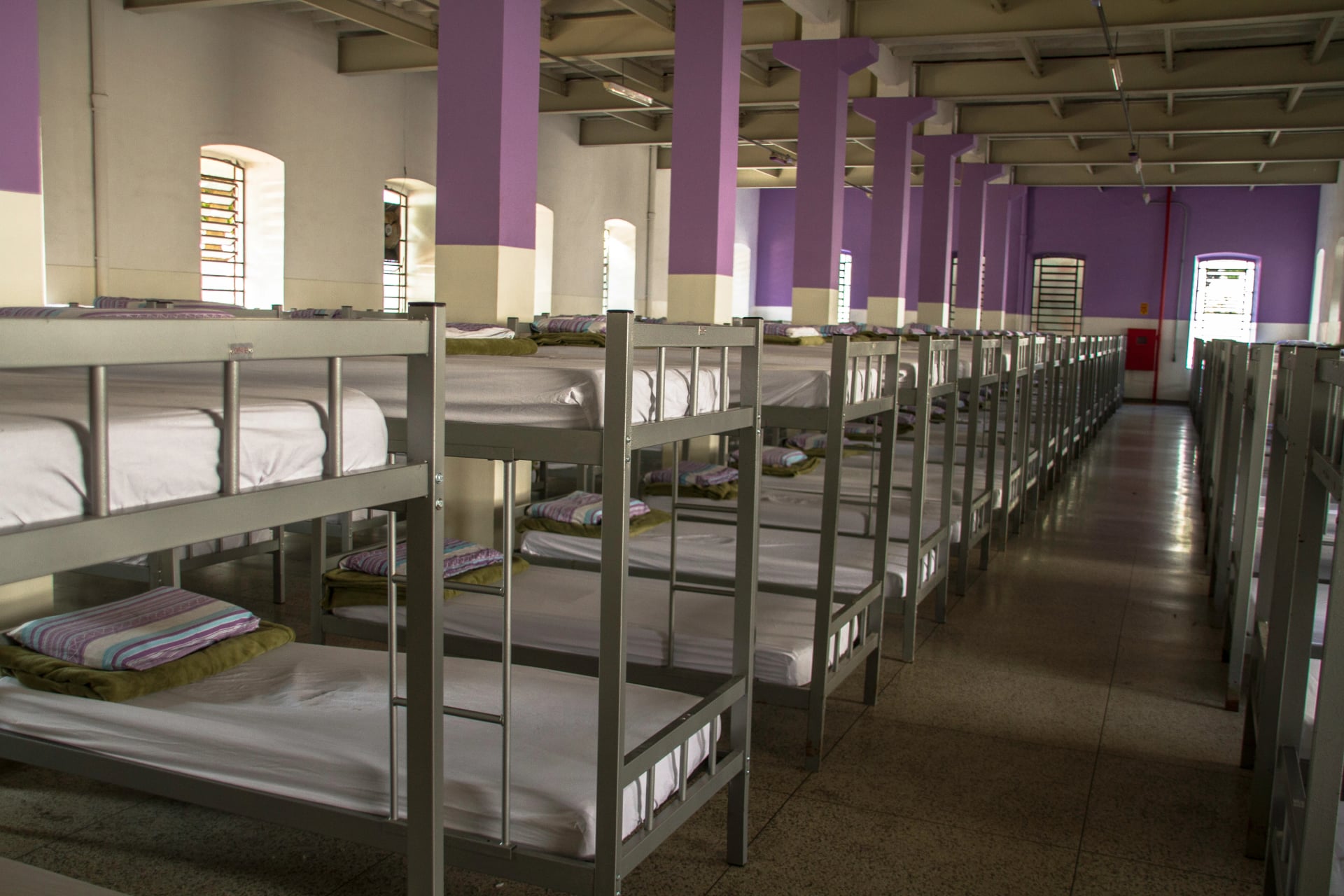
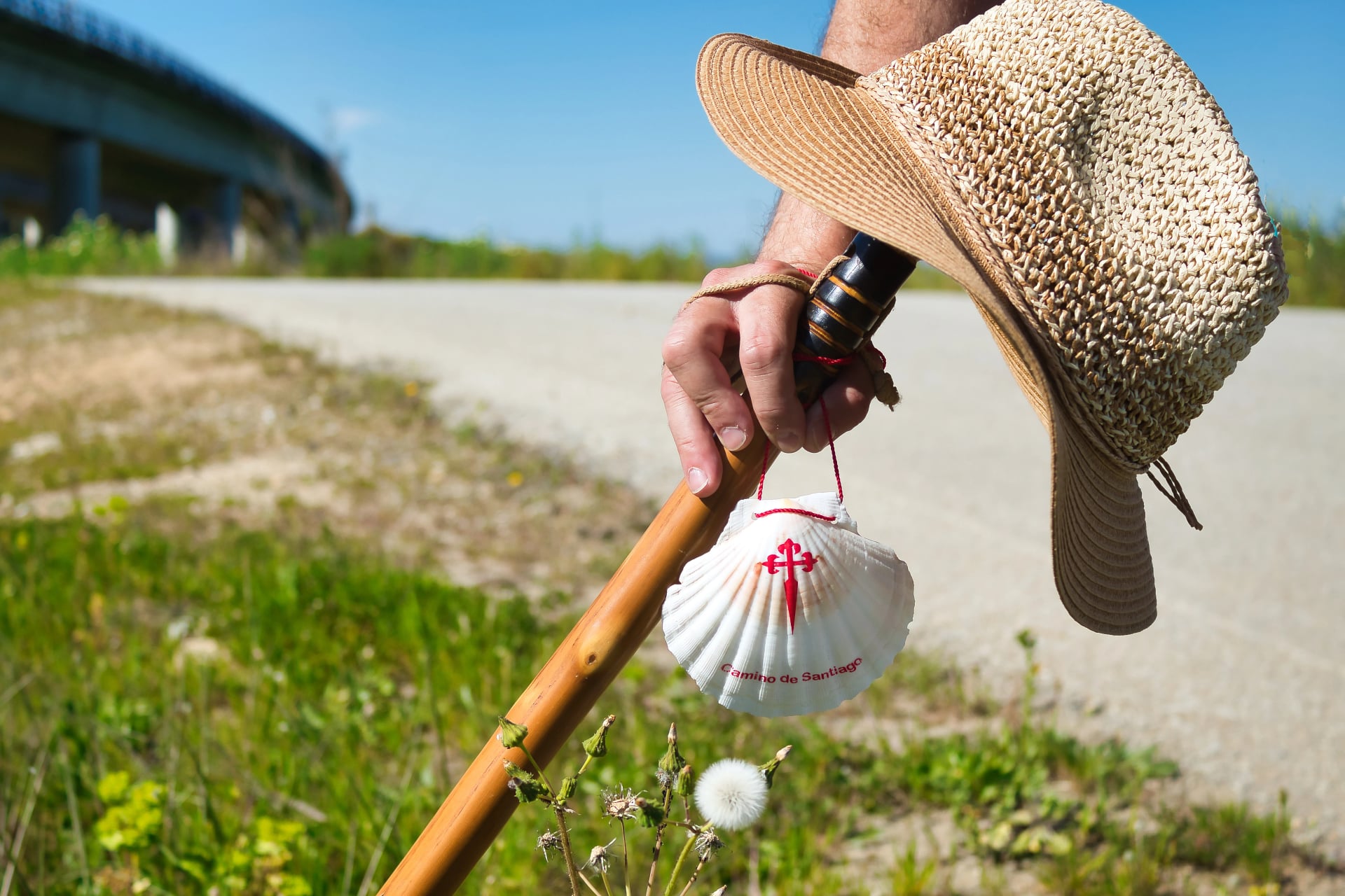
Accommodation on the Way
Many pilgrims mix albergues for the social Camino rhythm with the occasional hotel night for deeper recovery, especially on longer-stage stretches. Three well-regarded, practical stops to keep on the radar:
A common pattern on Invierno is to “pulse” accommodation: a few albergue nights for atmosphere and simplicity, then a hotel or private room every 3–4 nights to protect sleep quality and recovery. That strategy tends to keep the walking enjoyable in the second half of the route—especially if one stage runs longer than expected or weather slows the pace.
Key Things to Consider:
Stage spacing first: pick overnight towns based on realistic walking gaps, not a target kilometer number
Backup options: favor stops with 2+ accommodation choices so one full place doesn’t force an extra-long day
Arrival timing: quieter routes reward earlier check-ins—late arrivals can mean fewer choices and fewer open kitchens
Seasonal risk: in shoulder/winter periods, confirm what’s actually open—some places reduce hours or close midweek
Noise and sleep: dorm size, curfews, and “early riser” dynamics can make or break recovery
Cash vs card: smaller albergues may prefer cash; keep a small buffer
Location within town: a place near the route exit can save time and energy the next morning
See our accommodation guide on the camino for more practical considerations when planning your next journey.
Getting to the Start - Ponferrada
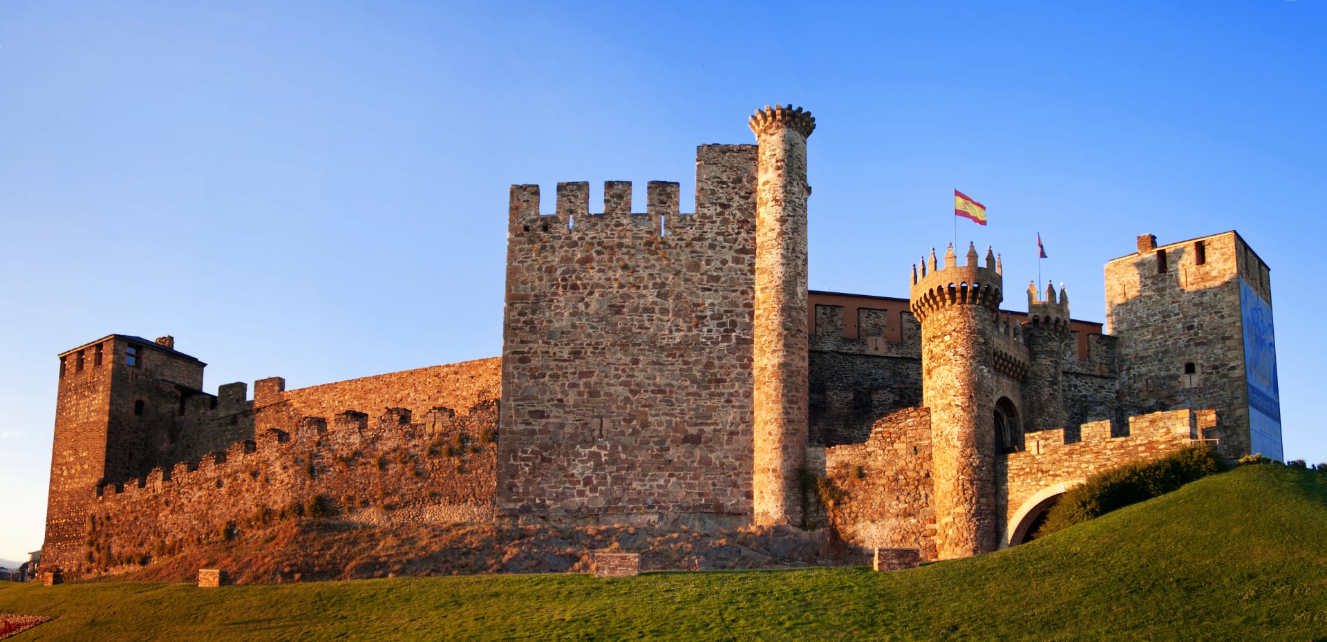
Most walkers start in Ponferrada (easy logistics, strong services), then stitch the Invierno west toward Monforte de Lemos and into Galicia.
Fastest, low-friction approach (for most international arrivals):
Fly into Madrid → train to Ponferrada: Renfe runs services from Madrid Chamartín to Ponferrada, with typical journey time around 4h 09m depending on the service.
Train or bus alignment checks: When planning connection buffers, treat “same-day seamless” as a bonus and plan for one generous transfer window—Spanish long-distance services can be punctual, but your flight might not be. (Airports love plot twists.)
If starting elsewhere in northwest Spain: Ponferrada is well connected by regional buses as well, so it can work as a “hub start” even if someone is coming from León, Asturias, or Galicia.
Two reliable places to check tickets + schedules:
Renfe tickets and timetables (official sales channels + how to buy)
ALSA bus tickets and routes (official bus operator purchasing options)
Returning From the Finish - Santiado de Compostela
Finishing logistics are usually straightforward because Santiago de Compostela is a major transport node, not just a photogenic finish line.
Fastest “back to Madrid” move:
Direct train Santiago → Madrid runs multiple times daily, with the fastest journeys around 3 hours and typical averages just over 3 hours.
If flying home: Santiago’s airport is close and efficient, but double-check dates—it has had planned disruption in the past (for example, a fully scheduled closure 23 April–27 May 2026 for runway works was reported locally).
Practical takeaway: It’s smart to treat the finish as a “two-step”: celebrate + sleep in Santiago, then travel the next morning with a clear head. Your future self will find this hilariously good advice.
Sleeping Strategy
Invierno planning works best when the route is treated like a chain of reliable stops. On quieter Caminos, the “best” stage is usually the one that ends in a town with enough beds, a decent dinner option, and an early-morning exit—not the one that hits a perfect kilometer count.
What’s different here: accommodation density can be uneven. Some towns have multiple options; other stretches can funnel walkers into the same stop, which is when the route feels harder than it is. The fix is simple: anchor nights first, then build the walking between them.
Essentials
Lock in the anchors: choose overnight towns with multiple accommodation options where possible
Avoid the long-day trap: if two “logical” stops are far apart, adjust the day before rather than forcing a single oversized stage
Stay flexible inside structure: keep at least one “shorten or extend” lever in the plan (an earlier stop, or a slightly longer push)
Optional but smart
In shoulder seasons, treat “same-day booking” as possible but not guaranteed; having a shortlist keeps decisions fast
Plan one night in a larger hub (for many walkers, that’s where the route becomes effortless again)
Practical Tips
These are the specific habits that tend to separate “that was smooth” from “why was that stressful?” on Camino de Invierno.
Start earlier: mornings create options—late starts create deadlines
Carry a small buffer: at minimum water + a snack, especially on quieter stretches
Use terrain-aware pacing: steady uphill is fine; burning matches early costs you later
Protect your feet from day one: hot spots addressed early prevent multi-day problems
Treat weather as a strategy input: wet conditions change speed and surfaces—plan a slightly shorter day if needed
Keep navigation resilient: waymarking is generally solid, but offline maps prevent time-loss wrong turns
Don’t overpack “just in case”: the best kit is the one you’re happy to carry on day eight
Finish with margin: Santiago arrival day is bigger than expected; don’t schedule a same-evening escape unless you have to
Camino de Invierno is a strong choice when the goal is a quieter Camino experience with standout river-and-vineyard landscapes—and it becomes genuinely easy when stages are shaped around the right overnight anchors.
If you’d like to explore whether Invierno stages can be worked into an itinerary that fits your dates and comfort level, the cleanest way to pressure-test the idea is a short consult our team of specialists via a consultation. If the priority is maximum simplicity and a route we operate most often, the most proven options can be browsed in the list of our Camino tours.