Vía de la Plata: The Long Way North
A south-to-north Camino through Andalusia, Extremadura, and Castile, defined by long stages, open landscapes, Roman roads, and deep silence.

Anja
January 29, 2026
8 min read
Quick links
Route Facts
Length: Approximately 1,000 km (620 miles)
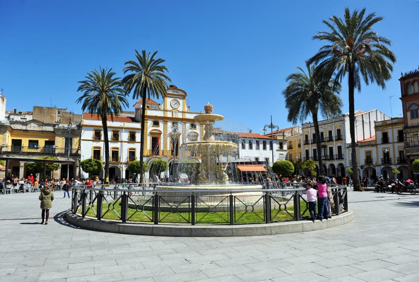
Starting point: Seville, Spain
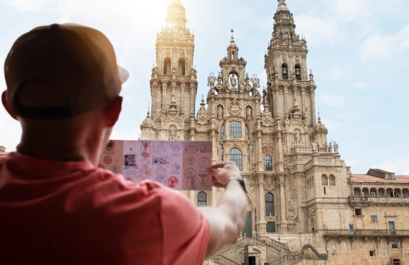
Finishing point: Santiago de Compostela, Spain
Typical duration: 35–45 days
Daily stages: 20–30 km (12–19 miles)
Technical difficulty: 2/5
Fitness level: 4/5
Ideal for: Walkers seeking a quiet, demanding Camino with long stages, open landscapes, and minimal crowds
The “Silver Way” Explained
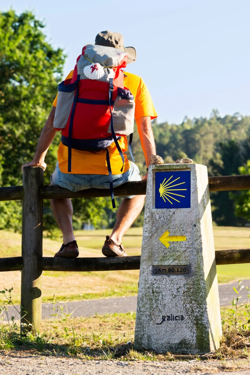
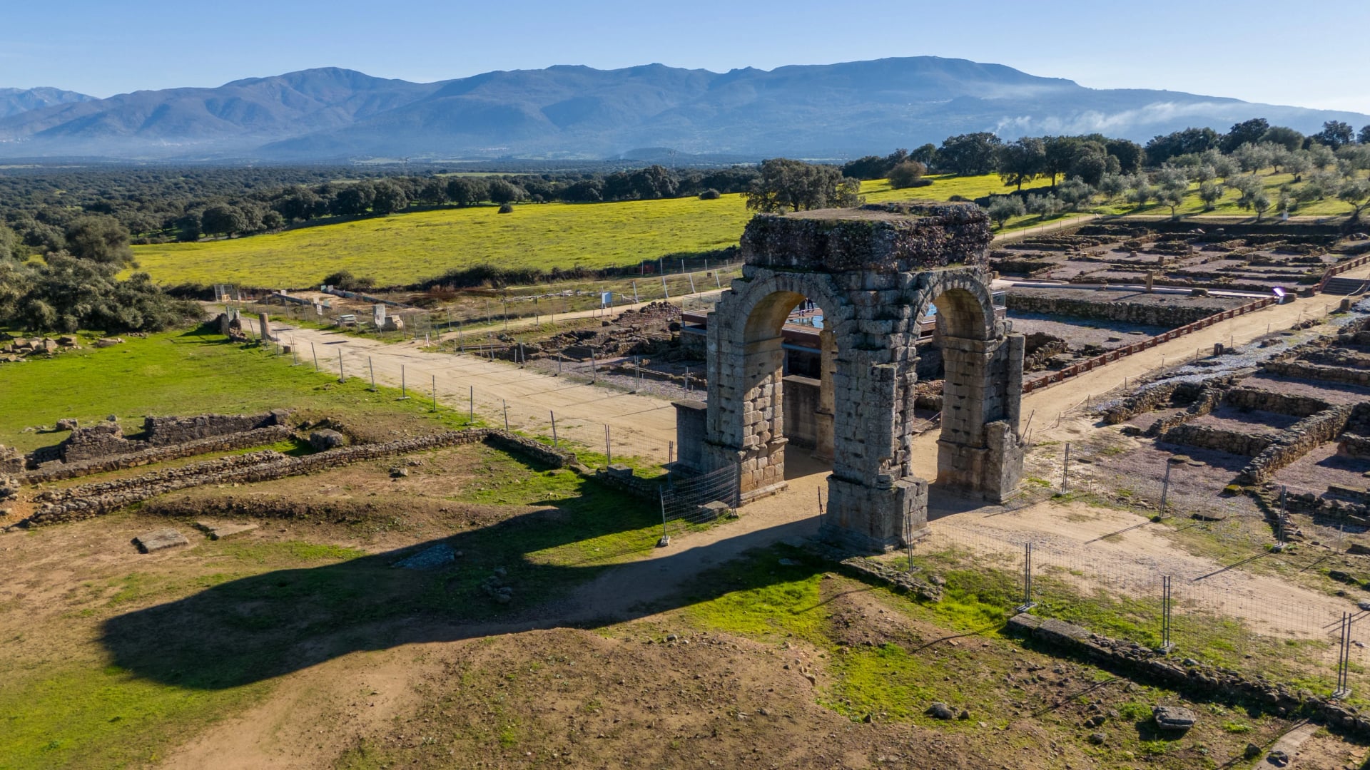
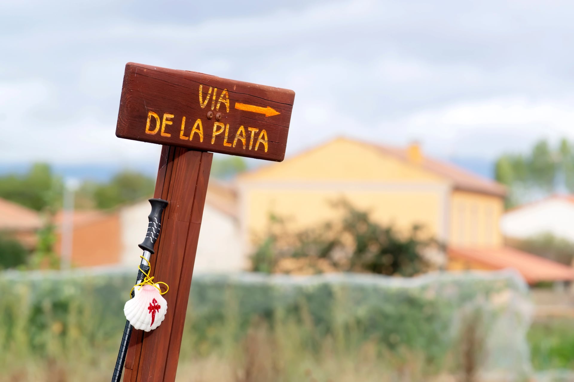
The Vía de la Plata—literally translated as the “Silver Way”—is a long-distance Camino route that runs north from Seville to Santiago de Compostela. It follows ancient north–south corridors through western Spain and is fully recognized as an official Camino, marked with yellow arrows and scallop shell symbols.
Historically, the route traces paths used since Roman times to connect southern Hispania with the northern regions of the peninsula. In the Middle Ages, these roads were adopted by pilgrims traveling toward Santiago, forming what is now one of the Camino’s longest and least populated routes. Today, the Vía de la Plata is valued for its scale, continuity, and the sense of remoteness that defines much of the walk.
Why This Camino Is Different
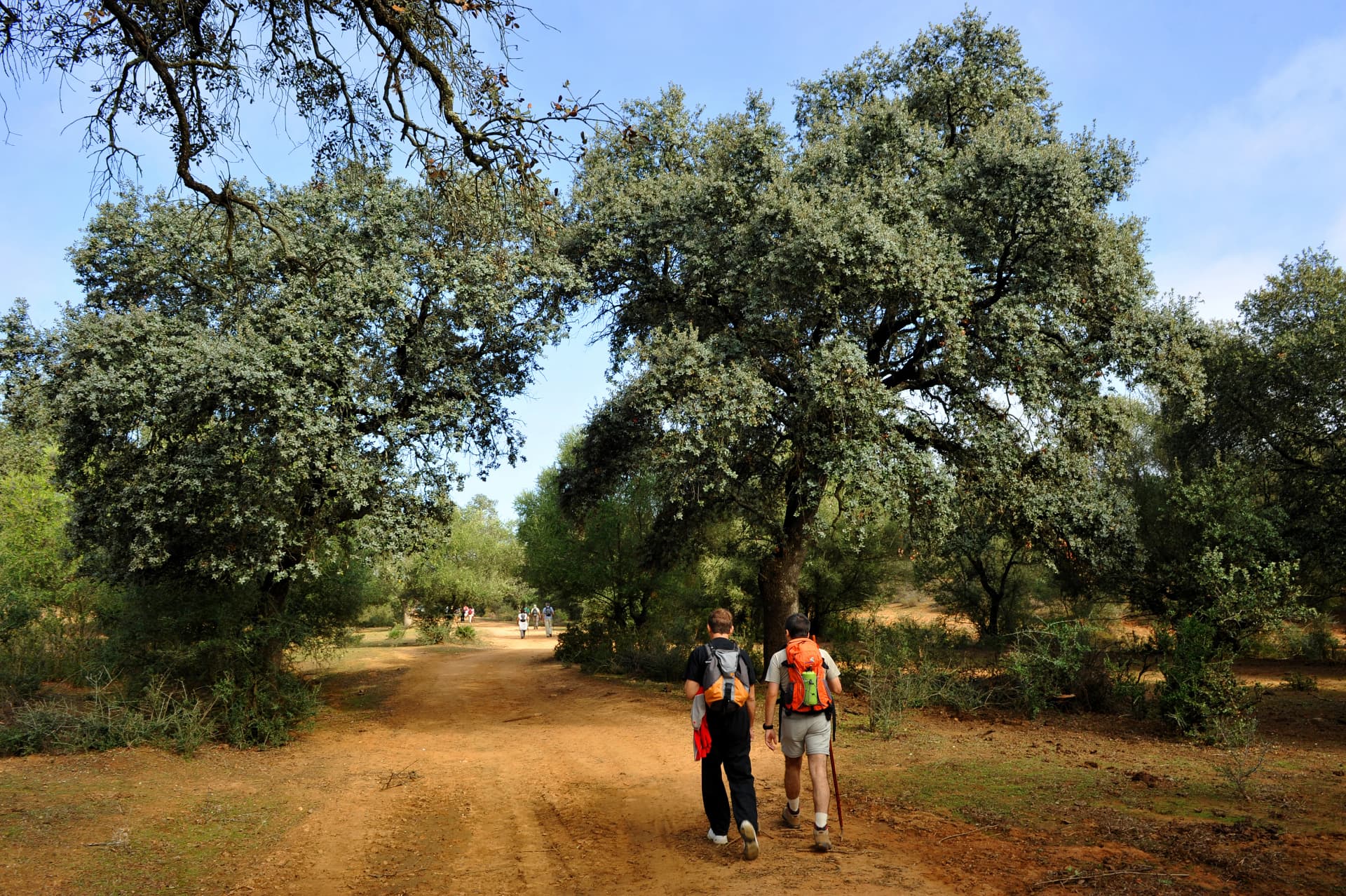
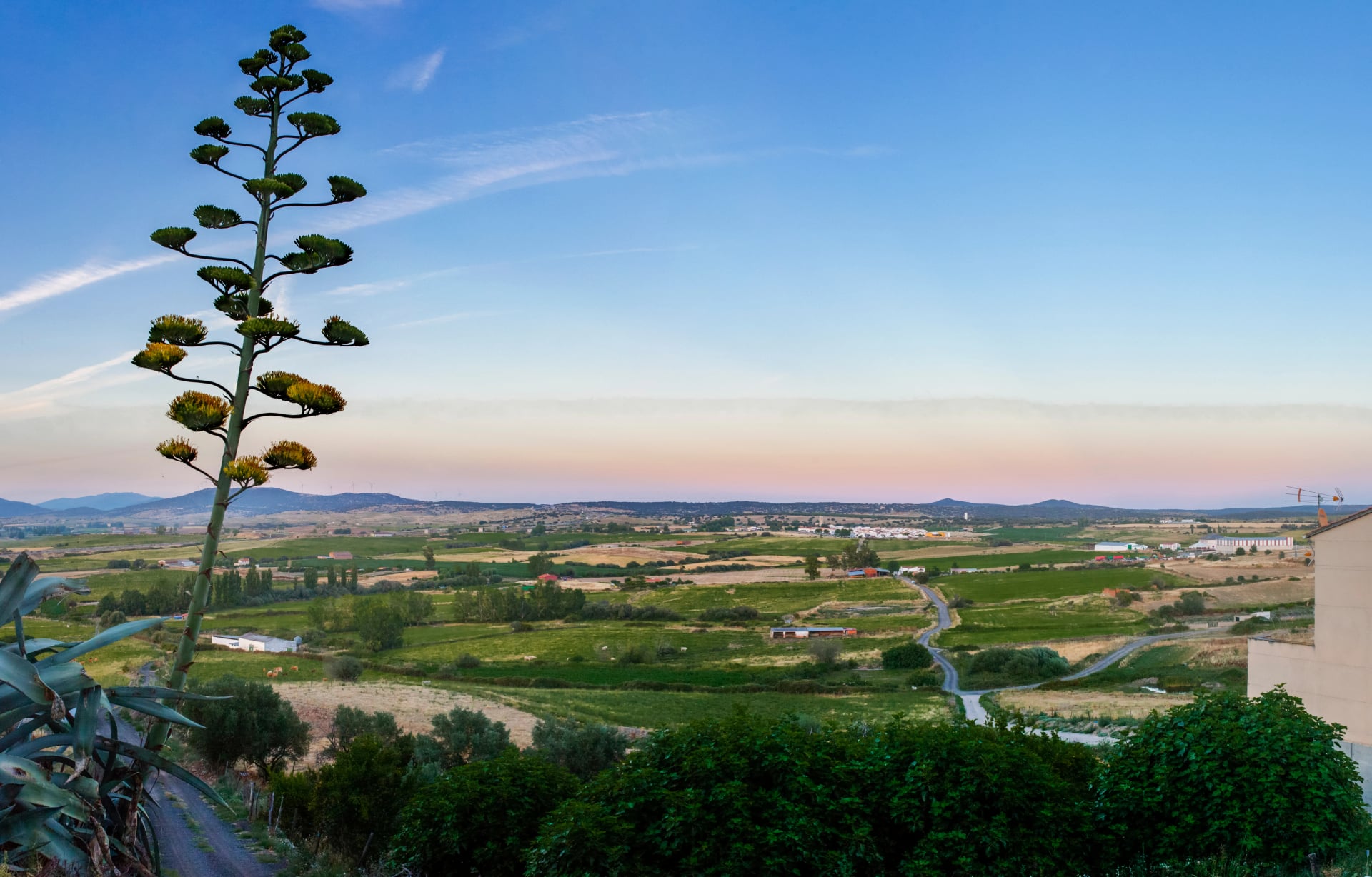
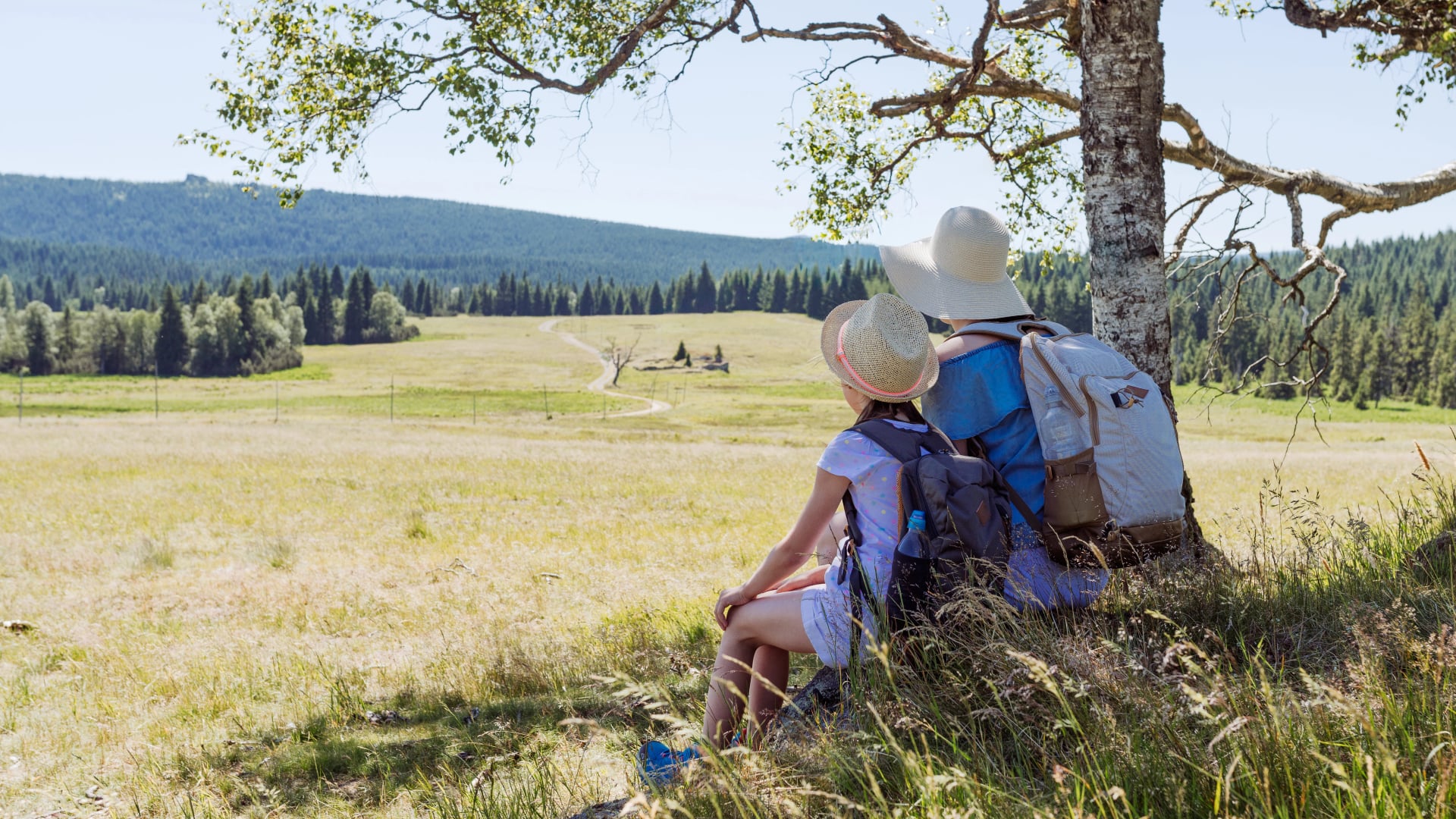
The Vía de la Plata appeals to walkers looking for a Camino that feels quiet, expansive, and uncompromising. With far fewer pilgrims than other routes, days often pass with long stretches of solitude, broken only by small towns and rural villages. For those who value space, rhythm, and reflection over constant social interaction, this route offers a distinctly different Camino experience.
Its scale is part of the draw. Stages are longer, services are spaced farther apart, and the landscape opens into wide plains, grazing land, and historic towns shaped more by local life than by pilgrimage tourism. Walking here requires planning and self-reliance, but in return it offers a strong sense of continuity and purpose.
Many pilgrims choose the Vía de la Plata precisely because it resists convenience. It rewards steady pacing, early starts, and mental resilience, making it well suited to experienced walkers—or to those seeking a Camino defined more by distance and landscape than by crowds and infrastructure.
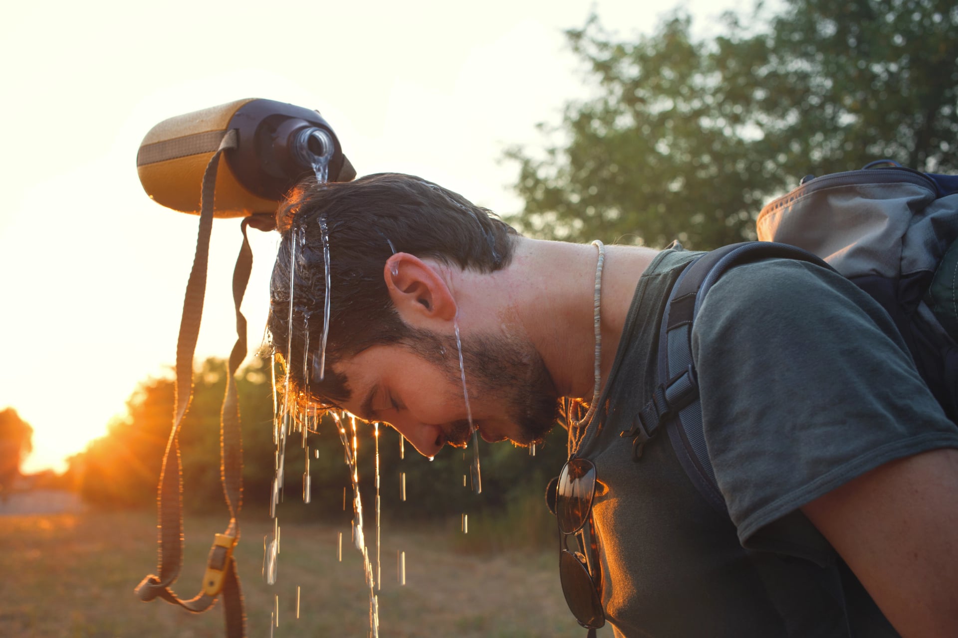
Because of its southern starting point and long, exposed stages, weather plays a much bigger role on the Vía de la Plata than on most Camino routes. Heat, seasonal variation, and limited shade can significantly shape the daily experience, making timing an important part of planning.
Best Time to Walk
On the Vía de la Plata, choosing the right season is fundamental to whether the route feels manageable or punishing. Long distances between towns, minimal shade, and sustained exposure mean that weather conditions directly determine daily feasibility.
Spring (March–May) is generally the most balanced season, offering manageable temperatures, greener landscapes, and reliable services across most regions.
Summer (June–August) walking can be challenging, particularly in Andalusia and Extremadura, where daytime heat often becomes extreme.
Autumn (September–October) can also work well, with cooler conditions and quieter trails, though daylight shortens and some albergues begin to close later in the season.
Winter (November–February) walking is possible in parts, but colder temperatures and reduced services—especially in the north—require careful planning.
If you’d like a closer look at conditions by month, you can explore our detailed weather guide to help choose the best period for your walk.
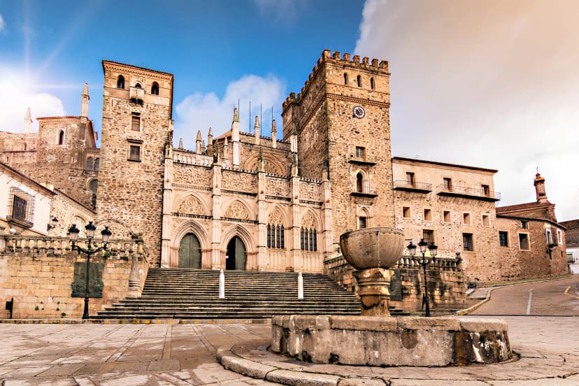
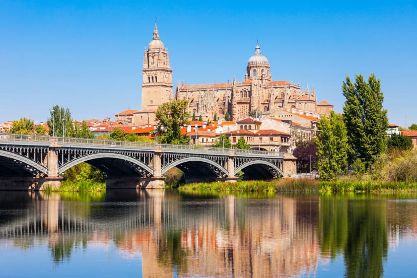
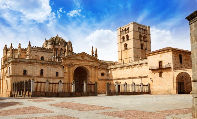
Key Places Along the Way
As the route moves steadily north, a handful of towns stand out as natural pause points—places to rest, resupply, and reconnect with the history and character of the Vía de la Plata.
Between these towns, the route stretches out across long, quiet stages, reinforcing the sense that progress on the Vía de la Plata is measured not just by distance, but by time spent walking between places.
Route Split: Where the Camino Changes
Most walkers don’t realize the biggest decision comes near the end.
Near the city of Astorga, the Vía de la Plata reaches a key decision point that shapes the final weeks of the pilgrimage. From here, many walkers join the Camino Francés and continue toward Santiago on the busiest and most social Camino route.
Others choose to turn northwest earlier, following the Camino Sanabrés for a quieter, more rural approach through Galicia. Understanding this split in advance helps pilgrims align expectations—whether seeking community and infrastructure or solitude and continuity.
How to Get There
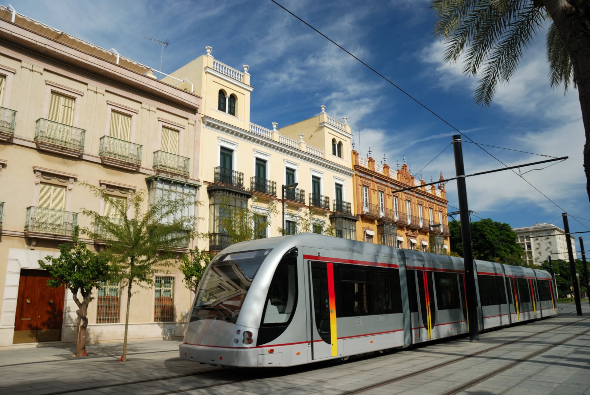
The Vía de la Plata traditionally begins in Seville, a well-connected city in southern Spain. Most walkers reach the start easily using a combination of flights, trains, or long-distance buses.
Seville Airport (SVQ) offers direct connections from many European cities.
The airport bus (EA Line) reaches the city center in about 35 minutes, while taxis take roughly 20–25 minutes.By train, Seville is linked to Madrid by high-speed AVE services (around 2.5 hours), with regional connections to other parts of Spain via Sevilla Santa Justa station.
By bus, long-distance services from operators such as ALSA connect Seville with cities including Madrid, Córdoba, and Málaga, arriving at Plaza de Armas station.
Some walkers choose to start further north, in places like Mérida, Salamanca, or Zamora, depending on time available and season. All are accessible by train and allow for shorter sections of the route.
Planning Essentials
The Vía de la Plata is a rewarding route, but it benefits from thoughtful preparation. Distances are longer, services are more spaced out, and daily decisions matter more than on busier Camino paths. Keeping a few basics in mind helps ensure a smoother experience on the trail.
Daily Distances
Daily stages are often longer than on other Camino routes
Expect stretches of 25–30 km (15–19 miles), especially in southern sections
Planning stages in advance helps balance effort and rest
Accommodation Options
Accommodation along the Vía de la Plata is more limited than on busier Camino routes, so it helps to know what types of lodging are typically available in each town.
Pilgrim albergues – simple dormitory-style lodging, often municipal
Guesthouses & B&Bs – private rooms with basic comforts
Small hotels – available in larger towns, offering more flexibility
For more information on accommodation options and culture on any Camino- make sure to see our full accommodation guide.
Navigation on the Trail
Waymarking along the Vía de la Plata is generally reliable, but it varies by region, especially in more remote areas. Being familiar with how the route is marked helps avoid unnecessary detours.
Painted arrows and route symbols – commonly found on walls, poles, and road signs
Official trail signage – more frequent near towns and along established sections
GPS tracks or offline maps – often recommended as a backup on quieter stages, which we help you set up and provide you with before you start walking
Water & Supplies
Services along the Vía de la Plata can be spread far apart, particularly in rural and southern sections, so it’s important to plan ahead during the day.
Public drinking fountains – usually found in towns and villages, but less frequent between stages
Bars and cafés – common stopping points for food, drinks, and refilling water bottles
Shops and supermarkets – available in larger towns; limited or absent in smaller villages
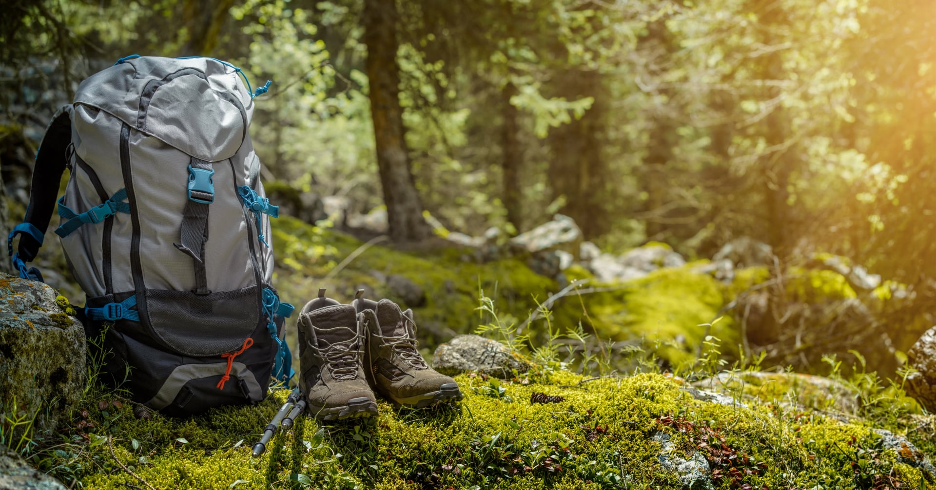
Packing Essentials
Packing for the Vía de la Plata is about keeping things simple and lightweight. Longer stages and exposed terrain make comfort and practicality more important than extra gear. Focus on versatile clothing, well-tested footwear, sun protection, and enough capacity for water.
A clear packing list helps avoid overpacking while ensuring you’re prepared for the conditions along the route. You’ll find our full packing checklist linked below.
Typical Stage Rhythm
Walking days on the Vía de la Plata tend to follow a steady but demanding pattern. Early sections often involve long stretches of 25–30 kilometers (15–19 miles) between towns, with few services available midday.
Larger historic cities such as Mérida, Cáceres, and Salamanca naturally become rest points, spaced several days apart. This rhythm encourages early starts, careful water planning, and a slower overall pace that reflects the route’s scale.
Is the Vía de la Plata Right for You?
The Vía de la Plata suits walkers who value quiet, space, and a more independent walking experience. Longer stages and fewer services mean the route rewards steady pacing and thoughtful planning rather than spontaneity.
It’s ideal if you enjoy solitude, open landscapes, and a Camino that feels introspective rather than social. If you prefer short stages, frequent cafés, and a lively pilgrim atmosphere, another route may be a better fit.
You can explore our Camino Guide for extra tips or get in touch with us if you’d like help shaping a custom itinerary that fits your plans on Via de la Plata.